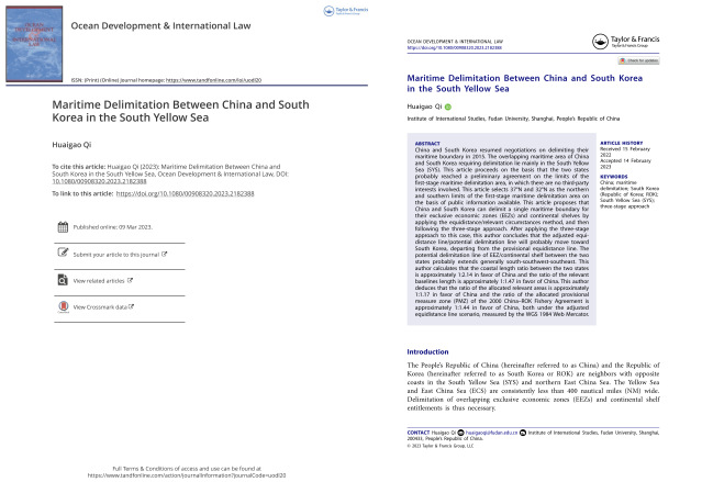
Huaigao Qi, “Maritime Delimitation Between China and South Korea in the South Yellow Sea,” Ocean Development & International Law, Vol. 54, No. 1 (2023), pp. 26-62.
To link to this article: https://doi.org/10.1080/00908320.2023.2182388
2023年3月9日,复旦大学国际问题研究院祁怀高研究员在《海洋开发与国际法》(Ocean Development & International Law, ODIL)发表题为“Maritime Delimitation between China and South Korea in the South Yellow Sea”(中国与韩国在黄海南部的海域划界)的论文。ODIL是国际关系和国际法领域的知名SSCI期刊。

摘要:2015年,中国和韩国启动了海域划界谈判。中韩需要划界的重叠海域主要位于黄海南部。中韩似乎已经就不涉及第三方主张的第一阶段划界对象海域的范围达成一致。本文基于已有公开文献,选取北纬37°和北纬32°分别作为第一阶段划界对象海域的北部界限和南部界限。本文建议,中韩可以采用“等距离/有关情况”规则(“三阶段方法”),对两国的专属经济区和大陆架单一划界。作者采用“三阶段方法”后,认为中韩调整的等距离线(潜在的划界线)将很可能由临时等距离线向韩国一侧调整。中韩专属经济区/大陆架潜在的划界线将大体沿着“南—西南—东南”方向。作者计算的中韩相关海岸(简化处理后)长度比率约为2.14∶1,中韩相关领海基线长度比率约为1.47∶1。作者推论,基于墨卡托坐标投影方式计算,调整后的等距离线分配给中韩的相关海域面积比率约为1.17∶1,调整后的等距离线分配的中韩“暂定措施水域”面积比率约为1.44∶1。
Abstract: China and South Korea resumed negotiations on delimiting their maritime boundary in 2015. The overlapping maritime area of China and South Korea requiring delimitation lie mainly in the South Yellow Sea (SYS). This article proceeds on the basis that the two states probably reached a preliminary agreement on the limits of the first-stage maritime delimitation area, in which there are no third-party interests involved. This article selects 37°N and 32°N as the northern and southern limits of the first-stage maritime delimitation area on the basis of public information available. This article proposes that China and South Korea can delimit a single maritime boundary for their exclusive economic zones (EEZs) and continental shelves by applying the equidistance/relevant circumstances method, and then following the three-stage approach. After applying the three-stage approach to this case, this author concludes that the adjusted equidistance line/potential delimitation line will probably move toward South Korea, departing from the provisional equidistance line. The potential delimitation line of EEZ/continental shelf between the two states probably extends generally south-southwest-southeast. This author calculates that the coastal length ratio between the two states is approximately 1:2.14 in favor of China and the ratio of the relevant baselines length is approximately 1:1.47 in favor of China. This author deduces that the ratio of the allocated relevant areas is approximately 1:1.17 in favor of China and the ratio of the allocated provisional measure zone (PMZ) of the 2000 China–ROK Fishery Agreement is approximately 1:1.44 in favor of China, both under the adjusted equidistance line scenario, measured by the WGS 1984 Web Mercator.
关键词:中国;海洋划界;韩国;黄海南部;三阶段方法
Key words: China; maritime delimitation; South Korea (Republic of Korea; ROK); South Yellow Sea (SYS); three-stage approach
致谢:作者感谢《海洋开发与国际法》杂志的两名匿名审稿人、新西兰坎特伯雷大学法学院凯伦·N·斯科特教授、复旦大学国际问题研究院朱芹博士、武汉大学中国边界与海洋研究院黄伟副教授、浙江大学光华法学院邱文弦副教授等的建议。感谢武汉大学中国边界与海洋研究院苗丹丹工程师的制图;感谢复旦大学国际关系与公共事务学院博士生卫艺璇帮忙整理的研究资料。
需要说明的是,本文中的观点仅为作者个人观点,不代表任何机构或任何政府的观点。
Acknowledgements: The views expressed herein are solely those of the author and do not necessarily reflect the views of any institution or government. The author expresses thanks to two anonymous reviewers of Ocean Development & International Law, Professor Karen N. Scott of the School of Law at the University of Canterbury, Assistant Professor Qin Zhu of the Institute of International Studies at Fudan University (IIS Fudan), Associate Professor Wei Huang of the China Institute of Boundary and Ocean Affairs at Wuhan University (CIBOS WHU), and Associate Professor Wenxian Qiu of Guanghua Law School at Zhejiang University, for their helpful comments. Thanks to engineer Dandan Miao of the Digital Engineering Department at CIBOS WHU for drawing the maps (Figure 1, Figure 2, Figure 3, Figure 4, Figure 6, Figure 7, Figure 8, Figure 9, and Figure 10), and thanks to PhD candidate Yixuan Wei of School of International Relations and Public Affairs at Fudan University (SIRPA Fudan) for collecting research materials.
近年来,复旦大学国际问题研究院教师积极参与建设“第一个复旦”,和大气与海洋科学系、国际关系与公共事务学院、中国历史地理研究所的相关教师组建跨学科团队,积极开展涉海跨学科研究。跨学科团队积极推动文理融合创新研究,注重用国际关系、国际法、历史学、地理学、测绘学的跨学科研究方法开展涉海研究。在这一背景下,祁怀高研究员自2020年以来在ODIL发表两篇论文,分别对中朝在黄海北部的海域划界和中韩在黄海南部的海域划界进行了研究。


